Real-time photo reports of the American snowstorm
A powerful winter storm continues to pound much of the United States, bringing heavy snow, high winds and dangerous travel conditions.
Multiple states have issued weather warnings and emergency advisories as the storm disrupts transportation networks, closes schools and businesses and strains local infrastructure.
As conditions evolve, photo reports shared on X provide real-time visual documentation of the storm’s impact. Images from residents, journalists and first responders capture snow-covered streets, immobilized vehicles and ongoing response efforts, providing a view of the situation as it plays out from the ground.
LATEST UPDATES FROM X:
Blizzard reports from Mississippi
Blizzard reports from Illinois
Blizzard reports from Kentucky
Blizzard reports from Tennessee
Blizzard reports from MISSOURI
Blizzard reports from OKLAHOMA
Blizzard reports from ARKANSAS
Blizzard reports from KANSAS
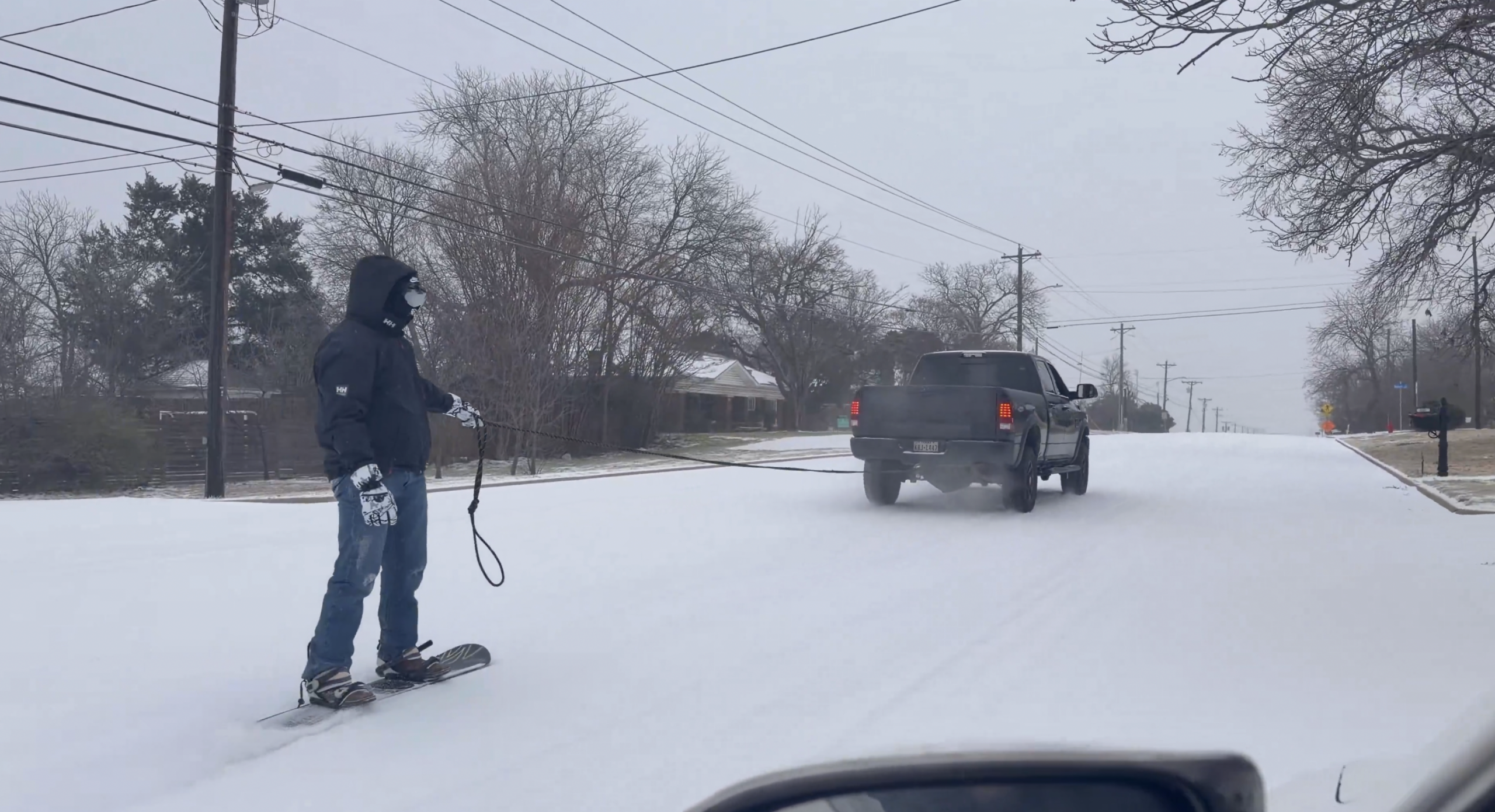
Blizzard reports from TEXAS
Forecast: Continued snow, ice and frigid conditions expected across much of the United States
Meteorologists and official forecast guidelines indicate that the winter storm has been unofficially designated Winter Storm Sailing by some weather services – will continue to move east on Mondaybringing significant accumulations of snow, sleet, and freezing rain from the Southern Plains to the Northeast and New England. Severe snowstorms – locally exceeding 10 to 20 feet in parts of the Ohio Valley, Mid-Atlantic and New England – remain possible, with widespread winter weather warnings in dozens of states.
Hazardous conditions are expected to persist as the system increases its range and slows forward motion, allowing snow and ice to accumulate for an extended period of time.
In addition to snow and ice, meteorologists predict dangerously cold temperatures and wind chills that could hinder recovery efforts and contribute to long-term hazards on roads and infrastructure. Freezing rain and ice jams still pose an increased risk of power outages and dangerous travel, especially in areas less accustomed to heavy winter precipitation. Officials are urging the public to monitor updates from the National Weather Service and local authorities, remain aware of changing conditions and adhere to safety guidelines as the storm continues to impact large parts of the country throughout the weekend and early next week.